AR AlpineGuide
Hot Novels


Install Tips
Mobile safety & integrity report for the latest package. We provide verifiable checksums and a timestamped scan summary. Latest package AR AlpineGuide 4.59.7 scanned by multiple engines; no threats detectedas of Tue, 28 Jul 2026 11:53:13 GMT.
After downloading, use a system or third-party checksum tool to calculate the SHA256 and ensure it matches the value provided on this page (case-sensitive, without spaces).
Each engine uses different signature databases and heuristics, so results may vary slightly. We provide a timestamp and checksum to allow you to independently verify the package.
AR AlpineGuide Review
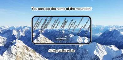
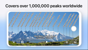
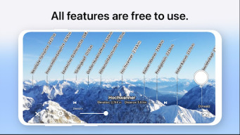
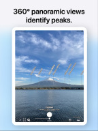
Point your Android device at the mountain and you'll see the peak's name, altitude, and distance!
This app has been renamed from "AR Map World Peaks".
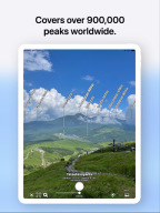
■ It has data from nearly one million peaks around the world.
■ Even if you tilt the camera, the name is displayed on the mountaintop using 3D coordinates and a gyroscope, so it is easy to check.
■ Since the guideline of the same shape as the ridgeline is displayed, you can accurately match the position of the mountaintop.
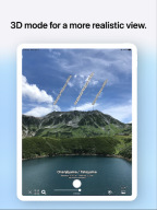
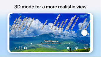
■ Point your Android device down to switch to a 3D view overlooking the sky.
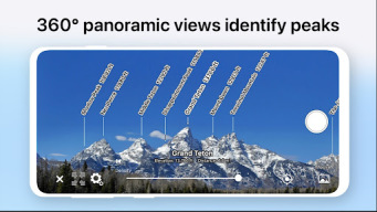
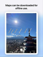
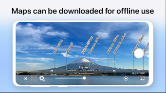
■ You can check the terrain and mountain names that can be seen from the specified location on the map.
■ You can take a picture with the name of the mountain and share it on SNS or email.
■ Swipe to adjust the position of the mountain name.
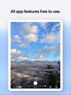
■ All features are free!
* If the direction is incorrect (such as when the north is always displayed), if the Android device has a cover, or if the case has a sensor, remove it. The metal or magnet on the cover may interfere with the sensor and cause malfunction.
Additional information
Screenshots


Reviews
Recommend Article


Similar Apps
Emulate your GPS position. Change your phone's GPS coordinates.
MacroPoint automatically communicates arrival, departure & location to partners.
Book train tickets in Russia easily with no extra fees.
Find EV charging stations
Bolt is a ride-hailing app for requesting fast, safe, and affordable transport
Truck Safe GPS Navigation & Maps: Parking, Fuel, Diesel, Weight Station